
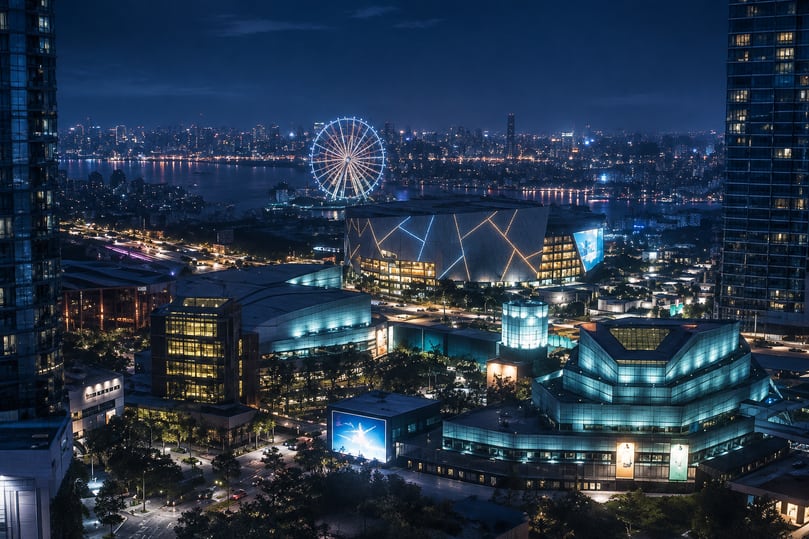
Navigating Leonida in GTA 6 requires more than following the main highways. Vice City’s dense streets, coastal roads, wetlands, industrial districts, and rural areas create different challenges when traveling across the map. The satellite-style pause map offers a more detailed view of the surrounding world, helping players understand where they are and plan their next destination.
Players interested in GTA VI Money can also benefit from learning the map early, especially when traveling between businesses, shops, mission locations, and other useful destinations. A good navigation routine saves unnecessary driving time and makes exploring the larger world more efficient.
1. Understand the Satellite-Style Map
Unlike a basic street diagram, GTA 6’s pause-menu map has been described in IGN’s gameplay preview as using detailed satellite-style imagery. This gives players a more recognizable view of the city’s layout, including buildings, roads, and surrounding environments.
The minimap and pause map serve different purposes. The minimap provides immediate navigation information while moving, whereas the larger map is better suited to examining the surrounding area.
| Map feature | Navigation purpose | Best use |
|---|---|---|
| Satellite-style pause map | Shows a detailed overhead view | Planning longer journeys |
| 3D minimap | Displays nearby buildings and streets | Navigating dense urban areas |
| Compass mode | Provides directional guidance | Traveling without a full minimap |
| Police search area | Highlights the area being searched | Planning an escape |
| HUD waypoint options | Provide quicker destination selection | Reducing menu interruptions |
These features have been reported through gameplay previews, although the complete map interface and every available setting have not been officially documented.
2. Plan Routes According to the Region
Leonida contains six major regions, each with a different environment. Choosing a route based on the destination’s surroundings is more useful than simply driving in a straight line.
Leonida’s six major regions
| Region | Environment | Navigation approach |
|---|---|---|
| Vice City | Dense urban streets and high-rise buildings | Pay attention to street connections and traffic |
| Leonida Keys | Islands and coastal roads | Plan around bridges and waterways |
| Grassrivers | Wetlands and waterways | Consider water-based transportation |
| Port Gellhorn | Tourist districts and declining commercial areas | Explore local roads and business districts |
| Ambrosia | Industrial facilities and factories | Identify industrial roads and surrounding routes |
| Mount Kalaga National Park | Natural landscapes and mountainous terrain | Prepare for less urbanized routes |
A useful strategy is to divide longer journeys into smaller sections. For example, when traveling from Vice City toward the Keys, first identify the main road out of the city, then consider the coastal connections leading toward the destination.
This approach makes it easier to adjust when a road is blocked or the original route becomes inconvenient.
3. Use the Map Before Starting Activities
One common navigation mistake is opening the map only after reaching a problem. A better approach is to check the destination and surrounding streets before starting an activity.
Use this simple preparation routine:
- Identify the destination: Locate the business, mission area, or activity you want to visit.
- Check nearby roads: Look for alternative connections instead of relying on one route.
- Consider transportation: Decide whether a car, motorcycle, boat, or another available vehicle is appropriate.
- Check the surrounding area: Identify nearby shops, garages, and other useful locations.
- Review your position during travel: Use the minimap to stay oriented when approaching complicated intersections.
Quick waypoint selection has also been reported in gameplay coverage, offering a way to choose destinations without repeatedly opening the full map. Exact button combinations should be checked in the released game rather than copied from GTA 5.
4. Navigate Around Police Search Areas
The map becomes especially useful during criminal activities. GTA 6 introduces a more detailed police search system in which law enforcement can investigate a designated area instead of continuously revealing every officer’s exact position.
During a pursuit, the minimap can display a search zone. This changes how players should approach navigation.
| Situation | Recommended navigation decision |
|---|---|
| Police searching nearby streets | Avoid repeatedly driving through the same area |
| Main road becomes dangerous | Look for alternative street connections |
| Vehicle is being pursued | Consider changing routes before reaching a roadblock |
| Search area remains active | Move away from the marked area |
| Police have vehicle information | Avoid relying on the same getaway vehicle |
The important point is to read the search area rather than treating the map as a simple GPS display. A route that is convenient during normal exploration may become a poor choice during an active pursuit.
5. Choose Transportation Based on the Map
Leonida includes considerably different terrain, so using the same vehicle for every journey is not always practical.
Transportation and suitable environments
| Transportation | Useful environment | Practical advantage |
|---|---|---|
| Cars | Vice City and major roads | Flexible everyday transportation |
| Motorcycles | Urban streets and smaller roads | Easier movement through traffic |
| Boats | Keys and waterways | Access to coastal and aquatic areas |
| Off-road vehicles | Rural terrain and trails | Better suited to uneven ground |
| Aircraft | Longer-distance travel | Aerial movement across the landscape |
Water transportation is particularly relevant because Leonida includes extensive coastal and wetland environments. Players should not automatically assume that every destination is best reached by road.
Before traveling, consider whether the destination is separated by water, surrounded by difficult terrain, or located inside a dense urban district.
6. Avoid Common Map Navigation Mistakes
Even with a more detailed map, players can waste time by relying too heavily on visual markers.
A few habits can make exploration more efficient:
- Do not assume every visible building is an accessible destination.
- Avoid following the same road when an alternative route is available.
- Check the surrounding area before beginning a mission or robbery.
- Use the compass when you want a cleaner screen during exploration.
- Pay attention to waterways and regional boundaries when planning longer trips.
- Remember that some optional activities may be discovered through exploration rather than obvious mission markers.
For players preparing their GTA 6 Online Accounts, becoming familiar with Leonida’s regions, transportation connections, and major urban locations can provide a useful foundation for future exploration.
The satellite-style map is most valuable when used as a planning tool rather than just a destination finder. Combining the overhead view with the 3D minimap, regional knowledge, and suitable transportation makes it easier to explore Leonida without wasting time on unnecessary detours.